The Great Artesian Basin is one of the largest groundwater reservoirs in the world, sustaining life wherever its ancient waters come to the surface.
Story + Photos Mandy McKeesick
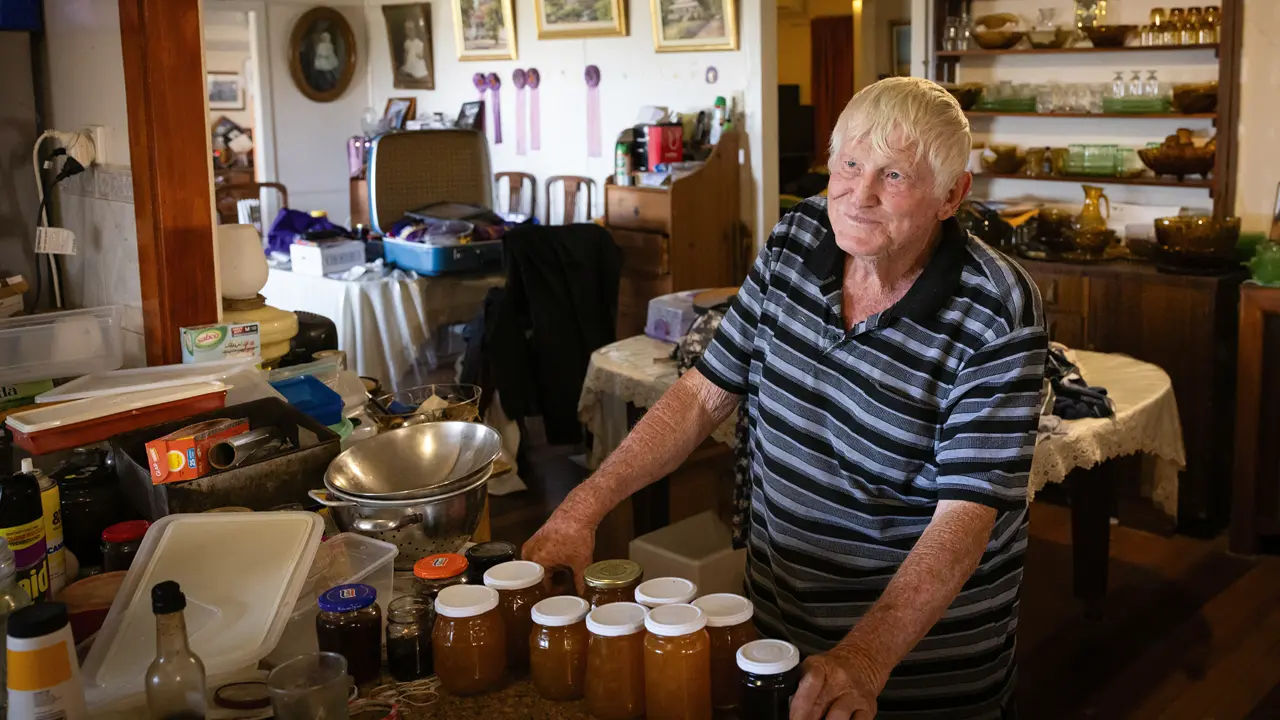
"My hierarchy of risk is travel, snakes and hot water,” Robbie Vinnicombe says. It may seem like an eclectic list, but these are the occupational hazards Robbie experiences as a water officer employed by the Queensland Government, monitoring water bores that tap the Great Artesian Basin (GAB).
Today, he is close to home – on the rolling Mitchell Downs between Ilfracombe and Aramac – but his travelling job can see him anywhere from the Gulf of Carpentaria to the Simpson Desert, east to Clermont and south to the NSW and SA borders. The whole beat takes him 3 years to complete.
The bore water ranges from 30 to 100°C, so Robbie carries ice and a personal locator beacon as first-aid measures. And snakes? Well, here on the black soil plains the slithery ones live in the deep cracks near the bores, “and when you lick ’em on the arse with 70°C they come out swinging,” he says.
The GAB is gargantuan. It covers 1.7 million sq km, representing over one fifth of the continent. Most of it (70%) lies under Queensland, but it extends into NSW, SA and the NT, stretching from Cape York to Dubbo and from Coober Pedy to the Simpson Desert. It’s estimated to contain 65 million gigalitres (each gigalitre is a billion litres), making it one of the largest groundwater resources in the world. In fact, you could tip all of Australia’s surface water into it, add North America’s Great Lakes, Africa’s Great Lakes and all the world’s dams and still have room for another 20,000 Sydney Harbours. The GAB is 3000 times larger than the Murray–Darling River system.
The GAB began to form in the Jurassic Period, when eroding mountain ranges produced sandy sediments. Later, in the Cretaceous Period, the sea level rose, bringing with it finer sediments. Over time this cycle repeated, forming a layer cake of porous sandstone aquifers sealed by impermeable siltstone and mudstones, which we now know as the GAB.
“In the GAB, we’ve got 5 regional aquifers stretching across 1000km, which are part of 4 separate geological basins, each with their own geological history,” says Tim Ransley, hydrogeologist with Geoscience Australia. “The Eromanga Basin is the largest, underlying the central and western chunk of the GAB. The Carpentaria Basin underlies Cape York and extends to Julia Creek. The Surat Basin is on the eastern side and has extensive coal seam gas activity and we’ve also got a bit of the Clarence–Moreton Basin around Dalby and Toowoomba. The reason we have the GAB is because of the hydraulic connection between these basins. From a groundwater perspective, the water doesn’t care how the rocks were laid down. It just moves where it needs to move. Think of it as the equivalent of a garden hose filled with water. Water comes in one end and forces across to the outlet.”
But the water is not uniform. Temperatures and pressures vary with aquifer depth. Salinity, dissolved minerals and pH change. While most bores are artesian (free-flowing), others are not. Water can be bottled in Barcaldine, but it’s undrinkable in Longreach.
And it is very old water. “Water migrates through the sandstone slowly, only moving 0.5–1.5m each year,” Tim says. “Theoretically, water in the south-west of the GAB can be over a million years old.”
This story excerpt is from Issue #156
Outback Magazine: August/September 2024


