For 35 years, Alick maps and atlases have helped locate pastoral properties across Queensland, NSW and the NT.
Story + Photos Mandy McKeesick
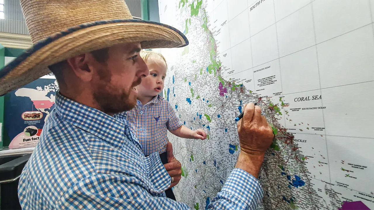
At Beef2024 in Rockhampton in May, a gigantic map of Queensland adorns a wall in a trade hall. People wait in line to colour their property on the marked station boundaries and pastoral names.
Troy Russell adds a small blue dot for his holding, Mt Aberdeen, near Bowen, Qld. “We have a laminated version of this map in our pool room,” he says. “When people come around and we start talking about stations, we bring out the map and we can see where everything is.” The maps complement well-thumbed, dog-eared atlases of pastoral stations that can be found in LandCruisers and offices across the country. “We have an atlas, too,” Troy says.
The brains behind these iconic reference works are Terry and Rosemary Alick who, from a small room in their home in Rockhampton, have been producing a range of maps and atlases covering Queensland, NSW and the NT for 35 years.
It was a business born of necessity. As station managers and contract musterers in the 1980s, the Alicks would be called to a property, but given very little information on where it actually was. “Back then there was no record of property names. They weren’t part of the land deed,” Terry says. The Alicks saw an opportunity to address the deficit and created Alick Mapping.
This story excerpt is from Issue #156
Outback Magazine: August/September 2024