

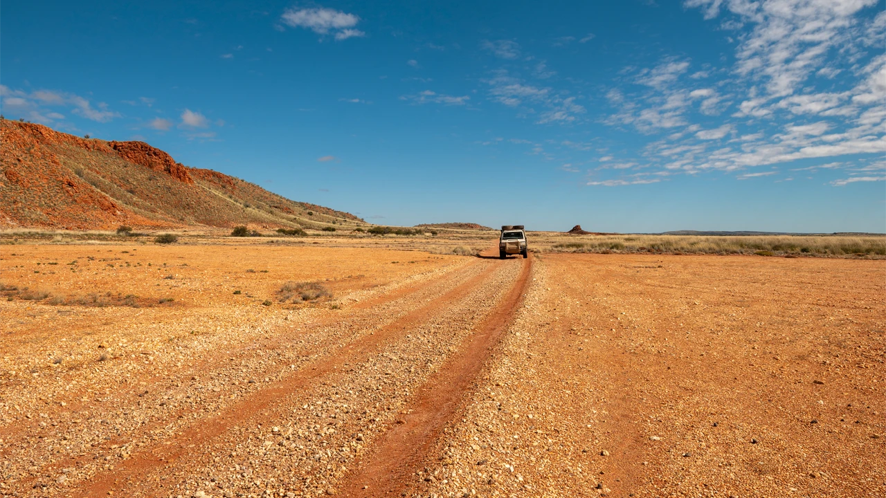
Bereft of people for most of its length, the Talawana Track in central WA amplifies the natural sounds of the desert while providing challenges for those who tackle it.
Story + Photos Mandy McKeesick
Deep in the Gibson Desert in WA, travellers in a well-prepared 4WD vehicle fitted out specifically for remote travel are stopped by, of all things, a lake. Flanked by a belt of mulga, the water has turned the usually gravelly two-wheel track into a sticky black-brown bog.
Going through is not an option. They’re past the halfway mark of fuel budgeting, so turning back is not a great idea either. No other person or vehicle has been seen for three days.
This is the Talawana Track, a 475km journey through the Little Sandy and Gibson deserts in central WA. It was the last track made, in 1963, by Len Beadell and his Gunbarrel Road Construction Party as part of a network of roads to support weapons testing at Woomera in SA.
“Though it’s known as the Talawana Track on maps, we always called it the Windy Corner Road,” says Connie Sue Beadell, Len’s daughter. “The team had pushed the Gary Highway and while they were finishing the grading, Len did a three-day reconnaissance east from the Old Talawana Homestead. When he got back to the Gary, he got caught in a sandstorm and was stuck in the vehicle for a few days, so he named the junction Windy Corner.” Len recorded memories of this final road in his books End of an Era and Still in the Bush.
The Talawana is definitely not for spur-of-the-moment travellers. It is remote desert travel and preparation is key. At Newman, fuel and supplies can be obtained before a 57km run north up the bitumen to turn right onto the tyre-eating Ethel Creek–Jigalong Road. It is another 115km to the proper start of the Talawana, at the Balfour Downs turn-off, where the road becomes less hungry, on the visual edge of the Little Sandy Desert.
This story excerpt is from issue #170
Outback Magazine: Dec/Jan 2027


